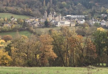
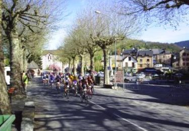
12.5 km | 17.7 km-effort
Roqueprins La Canourgue
micmouren
User
Length
4.1 km
Max alt
915 m
Uphill gradient
283 m
Km-Effort
7.9 km
Min alt
621 m
Downhill gradient
286 m
Boucle
Yes
Creation date :
2019-08-05 15:00:51.418
Updated on :
2019-08-05 15:56:13.723
54m
Difficulty : Easy
FREE GPS app for hiking
About
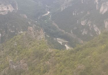
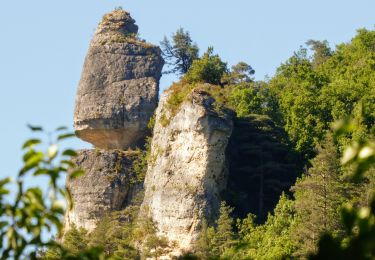
Trail Walking of 4.1 km to be discovered at Occitania, Lozère, La Canourgue. This trail is proposed by micmouren.
Description
Montée sèche
Positioning
Country:
France
Region :
Occitania
Department/Province :
Lozère
Municipality :
La Canourgue
Location:
La Canourgue
Start:(Dec)
Start:(UTM)
516796 ; 4918736 (31T) N.
Comments
Trails nearby
48 La Canourgue Banassac Les grès rouges
Nordic walking
Easy
(1)
Banassac-Canilhac,
Occitania,
Lozère,
France
2h 30min
Yes
la canourgue les vignes
Walking
Difficult
La Canourgue,
Occitania,
Lozère,
France
25 km | 37 km-effort
7h 37min
No
Dessus la canourgue
Walking
Difficult
La Canourgue,
Occitania,
Lozère,
France
9.1 km | 14.4 km-effort
3h 48min
No
Au-dessus de La Canourgue
Walking
Medium
La Canourgue,
Occitania,
Lozère,
France
12.7 km | 18.5 km-effort
3h 9min
Yes
Vers l'antenne de La Canourgue
Walking
Easy
Saint-Saturnin,
Occitania,
Lozère,
France
6.9 km | 8.8 km-effort
1h 42min
Yes
GR60 jour 7
Walking
Difficult
Banassac-Canilhac,
Occitania,
Lozère,
France
22 km | 29 km-effort
9h 43min
No
Atlamed - La Canourgue - Les Vignes
Other activity
Very easy
La Canourgue,
Occitania,
Lozère,
France
27 km | 38 km-effort
6h 30min
No
le chemin des falaises
Other activity
Easy
La Canourgue,
Occitania,
Lozère,
France
12.1 km | 16.4 km-effort
2h 55min
Yes
La Lozérienne édition 2009 - 47 km
Cycle
Difficult
La Canourgue,
Occitania,
Lozère,
France
47 km | 59 km-effort
2h 30min
Yes